If you drive down Ligon Mill Road today, the changes are impossible to ignore. Just across the street from Chesterfield Village, the woods have been strip-cut and the heavy machinery has arrived.
Now, a new set of flyers appearing in mailboxes this week suggests that Chesterfield Village itself might be next.
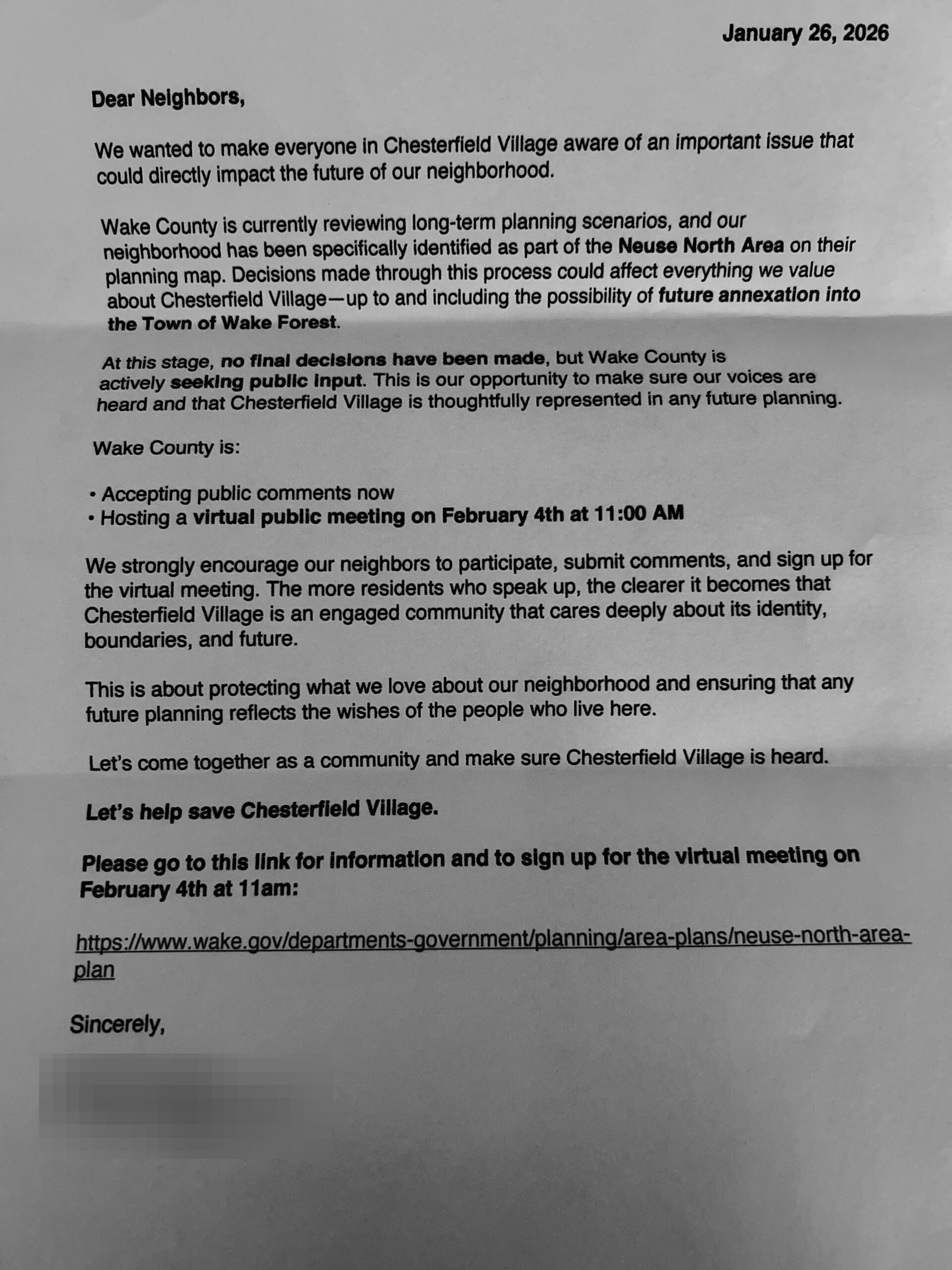
Residents of Chesterfield Village are mobilizing against the “Neuse North Area Plan,” citing concerns over eminent domain, forced sewer connections, and the expansion of the “Orange Zone” into their unincorporated neighborhood.
The alert circulating through the neighborhood focuses on the Neuse North Area Plan, a comprehensive study by Wake County covering approximately 17 square miles between Wake Forest and Rolesville.
While the County describes this as a long-term visioning process for the next 10 to 20 years, the draft maps tell a more immediate story: Chesterfield Village has been identified as a specific interest area, marked clearly in the “Orange Zone.”
The flyer outlines why this designation is causing alarm. It’s not just about lines on a map; it’s about the potential for “Forced Annexation” into the Town of Wake Forest.
One of the letters notes that “at this stage, no final decisions have been made.” The County is currently in the data-gathering phase, making this the critical window for public input.
Beyond the policy arguments, there is the land itself. Chesterfield Village sits right above the “Mill Tract,” an area home to a major tributary and significant wetlands system feeding into the Neuse River.
For decades, this landscape acted as a natural buffer. But as we’ve seen with the clear-cutting across Ligon Mill Road, that buffer is fragile. For residents who rely on private wells, the density proposed in these “Orange Zones” is a direct threat to the watershed and the water table they depend on.
A visualization of the “Neuse North Area Plan” showing the expansion of the “Orange Zone” (highlighted parcels) toward Chesterfield Village and the Ligon Mill Road corridor.
As development pressure continues to push outward from Wake Forest, the Neuse North Area Plan represents a pivotal moment.
It will determine whether neighborhoods like Chesterfield Village remain quiet, independent enclaves, or if they are paved over by the march of the “Growth Machine.”
Tom Baker IV is the publisher of Wake Forest Matters, Wake Forest’s only independent local newsroom. A Wake Forest native, Navy veteran, and intelligence professional, Tom launched Wake Forest Matters to bring serious accountability journalism to his hometown. Tips and story ideas: publisher@wakeforestmatters.com